Marietta broke ground on the first phase of the Rottenwood Creek Trail on Friday, September 18. The project's estimated completion date is April 2029, about two and a half years from now. Read alone, that sounds like news you can't use until near the end of the decade. Most of the route it belongs to is already open, though. The Mountain to River Trail already runs north-south through downtown, and the Bob Callan Trail already reaches the Chattahoochee. Rottenwood Creek is the east-west link that will connect them.
So the new trail is less a new place to walk than the piece that ties together two places you can walk right now. Here is how the pieces line up, and what you can use while the middle gets built.
What the 2.94 Miles Actually Are
According to the Marietta Daily Journal's report from the groundbreaking, Phase 1 is a 2.94-mile segment. It runs from Alumni Drive on Kennesaw State University's Marietta campus east to Franklin Gateway at the Franklin Gateway Sports Complex. The city's bid documents describe it starting at the baseball fields on Alumni Drive and following Rottenwood Creek to Franklin Gateway. Public Works Director Mark Rice told the MDJ the trail will be paved and will include four walking bridges.
The funding breakdown shows how a city of Marietta's size pays for a project like this. Rice put Phase 1 at $16.9 million. Of that, $12.3 million comes from Atlanta Regional Commission grants and $4.6 million from 2016 Special Purpose Local Option Sales Tax dollars. Regional grants cover roughly 73 cents of every dollar, and a sales tax that voters approved a decade ago covers the rest. The city's own announcement and the Cobb County Courier rounded the cost to about $17 million.
Phase 1 mainly runs through Ward 1, which Councilwoman Cheryl Richardson represents. At the ceremony she described the trail as "a network of trails that connects across the city into other cities all the way to the mountain." Mayor Steve Tumlin compared it to Atlanta's best-known trail: "We have the Beltline without all the big buildings that go up next to it."
The timeline took a while. City Manager Bill Bruton told the MDJ the Rottenwood Creek section started as an idea 13 years ago, and the broader goal of linking Kennesaw Mountain to the Chattahoochee River dates to 2002. Even the groundbreaking moved. In June the Courier reported a June 4 ceremony, and the city later reset it to September 18 at Aviation Sports Complex on Aviation Road.
The North-South Half Already Runs Past the Square
The Rottenwood Creek Trail is designed to meet the Mountain to River Trail, known locally as the M2R. The full M2R covers 13.5 miles from Kennesaw Mountain National Battlefield Park to the Chattahoochee River National Recreation Area, and 3.5 of those miles are inside Marietta city limits. The city describes the M2R as running from Kennesaw Mountain through Marietta Square to the city limits on Atlanta Street, and calls it "the backbone" of the planned trail system.
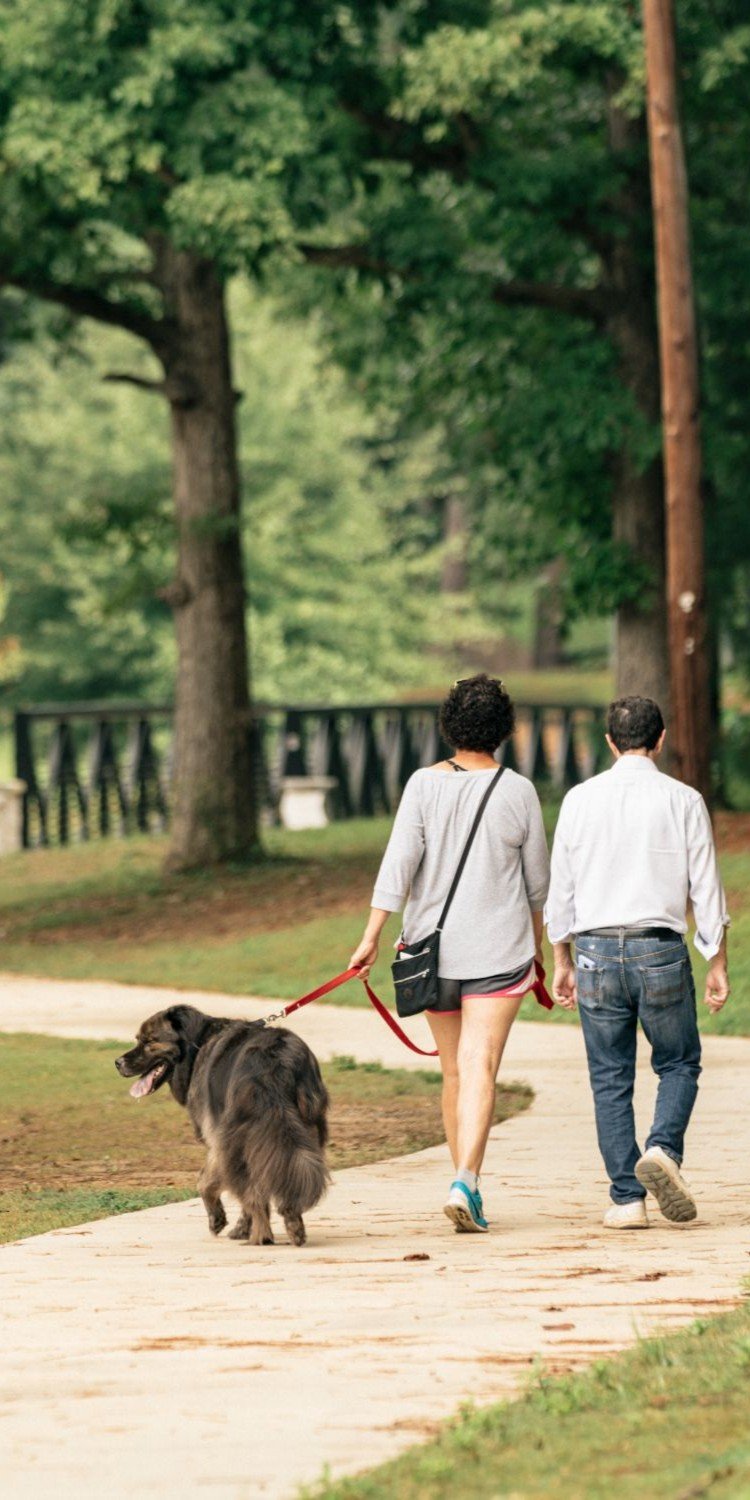
The most-used stretch in town is easy to picture. The route for this year's M2R TrailFest ran from Lewis Park near Wellstar Kennestone Hospital, trackside along Marietta Square, to the pedestrian bridge near Brown Park. Its center point was Atherton Square, behind Cool Beans and the Marietta Welcome Center. The festival's Fur Folly Pet Parade covers the northern part of that stretch, roughly one mile from the Lewis Park Dog Park to Atherton Square. That makes a useful benchmark for a dog walk that ends near coffee.
The trail has also become an outdoor gallery. The Marietta Arts Council uses TrailFest to debut sculptures and add to the existing mural program. Since 2020, lucite installations designed by students from KSU's College of Architecture and Construction Management have returned to the pedestrian bridges over the North and South 120 Loops. The city is also working on drawing more people onto this segment. Its M2R Trail Activation Study, produced with the Georgia Conservancy through an Atlanta Regional Commission assistance program, covered placemaking, wayfinding and how the trail connects to surrounding neighborhoods. The study won the Georgia Planning Association's 2025 Outstanding Planning Document Award.
Put simply, the north-south spine is built, it has art along it, and the city is investing to get more people using it. What it lacks is a connection running east.
The River End Opened Last September
The other end of the planned route was finished more than a year ago. In September 2025, the Cumberland Community Improvement District, Cobb County and the Atlanta Regional Commission opened the final phase of the Bob Callan Trail. That phase cost $7.4 million and added a 0.3-mile extension, creating a fully connected 4-mile multi-use trail from Terrell Mill Road to the Chattahoochee River at Paces Mill. The trail was built in three segments starting in 2005, so the Cumberland side spent about two decades on its piece.
The new trailhead at Windy Hill Road and Bentley Road is the most convenient starting point from the Marietta side. It has accessible parking, shaded seating, fitness equipment, bike repair stations, wayfinding signs and landscaped green space. The CID notes that the extension improves access to the 840-acre Chattahoochee National Recreation Area.
That Bentley Road intersection also shows where the plan is headed. The planned Phase 2 of Rottenwood Creek starts on Franklin Gateway and heads south and east across I-75. It ends where Delk and Bentley roads meet and ties into the Bob Callan trailhead at Terrell Mill Road. Phase 1 gets the route to Franklin Gateway, and Phase 2 is meant to take it the rest of the way to the river trail.
Where Each Piece Stands as of October 2026
Here is the corridor from west to east, with the status each source reports:
- M2R Trail through downtown Marietta. In use now. It is the route for the annual TrailFest, which this year ran from Lewis Park to the Brown Park pedestrian bridge.
- Rottenwood Creek Trail Phase 1, Alumni Drive to Franklin Gateway. Under construction since September 18, with an estimated completion of April 2029. The city's bid allowed up to 1,095 calendar days for construction.
- Rottenwood Creek Trail Phase 2, Franklin Gateway to Delk and Bentley. The Georgia Department of Transportation has approved a concept report, and engineering and design come next. No construction date has been announced.
- Bob Callan Trail, Terrell Mill Road to Paces Mill. Fully connected since September 2025.
Two of the four pieces are open, one is being built, and one is still in design. Once Phase 1 opens in 2029, KSU's Marietta campus will connect east to Franklin Gateway. The full continuous route from the mountain to the river depends on Phase 2, which doesn't have a schedule yet.
The Two Ballfield Complexes Along the Route Already Have Walking Tracks
While construction continues, the corridor already has places to walk laps, even though they don't connect yet. Both city facilities linked to Phase 1 have walking tracks.
Franklin Gateway Sports Complex, Phase 1's eastern endpoint, covers 13.53 acres. It has three full-size synthetic multipurpose fields, a playground, a walking track, restrooms and parking, plus concessions during events. For a family already at a weekend game, the track and playground are the parts of the complex you can use now that the trail will eventually connect to.
Aviation Baseball/Softball Complex, where the city held the groundbreaking, has three ballfields, indoor and outdoor batting cages, restrooms, parking, concessions and a walking track.
Until 2029, a resident who wants a long, uninterrupted walk or ride has two complete options, one at each end of the planned route. The M2R near the Square works for a mile-long walk from Lewis Park with murals along the way. The Bob Callan, starting at the Windy Hill and Bentley trailhead, works for 4 connected miles ending at the Chattahoochee. The city keeps maps and the activation study on its Trail Planning page, which is the place to check as Phase 1 construction moves along Rottenwood Creek.
When a trail connection reaches part of town, it changes which homes are within walking distance of the M2R, the river, or both. If you want to know how the Rottenwood Creek corridor fits your own plans, Terence Richardson can walk you through the route on a map and show what Phase 1 and Phase 2 mean for the streets you care about. Schedule your free market consultation.